City Seal The City of San Diego
HomeContact the City
City Seal
City Seal Business City Hall Community Departments Information Leisure Services A-Z Visiting
Planning Department
Planning Department HomeAbout UsPrograms & ProjectsGeneral PlanCommunity PlanningBoards & CommissionsGet InvolvedDocument LibrarySite Map
Community Profiles
Photo of Community Neighborhood
  San Diego Community Profile: 
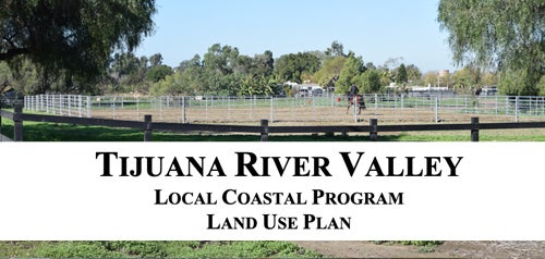
Tijuana River Valley
 

Community Planning Quick Links

• Overview & Background
• Community Planning Groups (CPG)
•  Community Planning Groups Contact List (CPG) (PDF: 243K)
• Community Planners Committee (CPC)
• Community/Land Use Plans
•  Community Orientation Workshop (COW)
• Community Profiles
• Get Involved in Your Community
• Other Community Planning Resources
• Community Planning Home


Go Button

Don't know what community you are in? View General Community Map

 Tijuana River Valley Community Links
•  Current Community Plan
• Community Planning Group Info (PDF: 143K)
• Demographic Information (PDF)
• Maps

 Planning Programs
• General Plan & Community Plans
City of Villages Strategy for Smart Growth
• Multiple Species Conservation Program
Protecting Our Environment
• Historical Resources
Protecting Our Rich Cultural Heritage
• Facilities Financing
Long range fiscal planning for public facilities
• Transportation Planning
Enhancing Mobility in San Diego
• Maps & Urban Analysis
Statistics & Customized Maps for Our Communities
• Document Library
Quick Access to Planning Re-Draft & Docketed Items

Photo of Tijuana River Valley

The Tijuana River Valley is a broad natural floodplain containing a variety of wetland and riparian areas. This valley is a small portion of the Tijuana River's 1,700 square miles of watershed. The watershed area includes portions of south San Diego County and northern Baja California, Mexico. The Tijuana River Valley Planning Area is bounded by the City of Imperial Beach and the Otay Mesa-Nestor community to the north, the San Ysidro community to the east, Mexico to the south, and Border Field State Park and Imperial Beach to the west. 
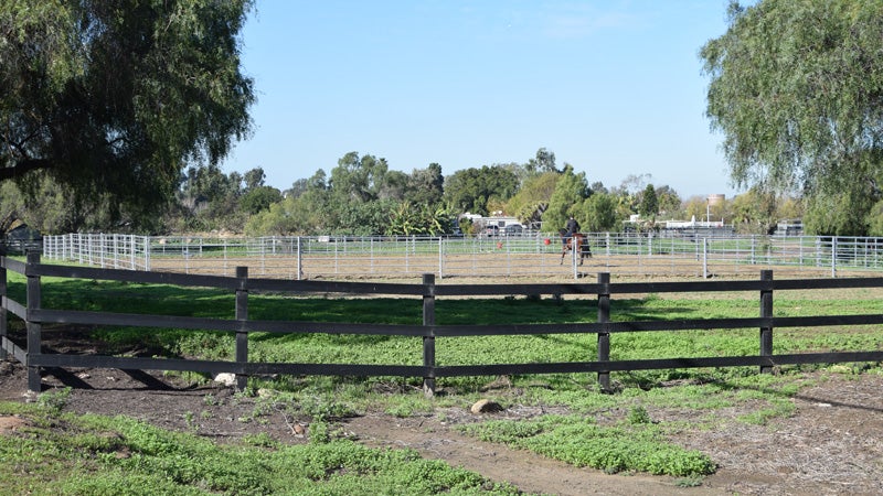
Near the coast is the most extensive salt marsh in southern California, which is preserved within the Tijuana River National Estuarine Sanctuary. Further inland the river is vegetated with riparian habitat. The valley is bounded on the south by high mesas and deep canyons covered by chaparral, sage scrub and grasslands. The valley floodplain currently contains a mixture of agricultural fields, equestrian facilities, rural housing, riparian woodland and disturbed habitats.


Contact City Planning & Community Investment at (619) 235-5200 or e-mail us at planning@sandiego.gov
202 C Street, fourth floor, San Diego, CA 92101

| Planning Department Home | About Us | Programs & Projects | General Plan | Top of Page |
| Community Planning | Boards & Commissions | Get Involved | Document Library | Site Map |
Site Map Privacy Notice Disclaimers