Via de la Valle Community Plan


The Via de la Valle community has representatives on the Carmel Valley Community Planning Board.
Includes agendas and minutes
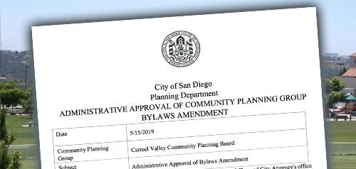
Represented by the Carmel Valley Community Planning Board


About Via de la Valle
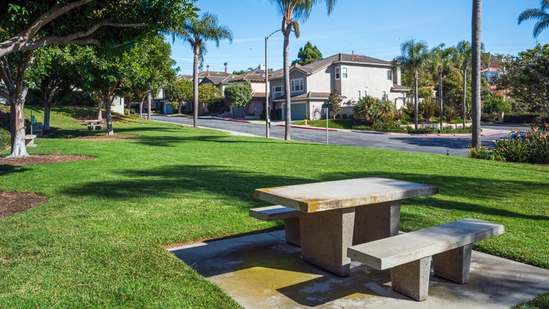
Via de la Valle community planning area encompasses approximately 125 acres located in the northwestern region of the City of San Diego. The community is characterized by steep canyons running in a north-south direction and separated by narrow ridges and bluffs. Approximately half of the planning area consists of slopes exceeding 25% gradient. The steep slopes and bluffs are an aesthetic asset to the planning area.
The community is comprised of residential and open space land uses. The development theme in the community is clustered single family residential with attached units in the interior of the planning area and detached units at the perimeter. The attached single-family residential areas are designed to preserve the steeper slopes, minimize grading, and still achieve a suitable density in the area. The detached single-family lot areas are located along the perimeters of the planning area to provide a buffer and transition between the higher density attached units and the adjacent homes in the county.
The open space system is comprised primarily of hillsides. Approximately 62 acres are in an open space easement to protect the open space network and to preserve its natural beauty. The open space area preserves valuable natural features and provides a transition between the developments. The north/south ridges and canyons, which front on Via de la Valle, are visible from Interstate 5, the San Dieguito River Valley and the southern bluffs of the Carmel Valley community.
Via de la Valle is in Council District 1.
Community Planning
Planning Department
9485 Aero Drive, M.S. 413
San Diego, CA 92123
619-235-5200
planning@sandiego.gov