


College Area Community Plan
-

Adopted by the City Council on May 2, 1989.
For a hard copy, contact City Clerk at 619-533-4000.
-

Includes agendas and minutes

About College Area
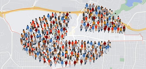
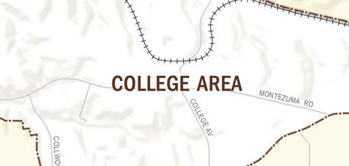
The College Area Community is in the central part of the City of San Diego, along the southern rim of Mission Valley. It is a residential community, which is also home to San Diego State University. The San Diego Trolley provides service between Santee and Downtown with a station on the campus at SDSU and one opposite Alvarado Hospital on Alvarado Road.
The College Area Community developed slowly during the early 1930s. The first subdivision maps occurred along El Cajon Boulevard and along Adams Avenue in the vicinity of 55th Street, in the vicinity of 63rd and Stewart streets and along Cresita Drive, Lindo Paseo and Hardy Avenue. In 1931, the State Teachers College (later San Diego State University) relocated in the College Area from its former Normal Street location.
El Cajon Boulevard is a historic commercial district through the college area community and was once the primary transportation route from San Diego to El Cajon and Arizona, before the construction of Interstate 8. The postwar desire for suburban living and the completion of Interstate 8 in the late 1950s further contributed to the growth of the community and University, but contributed to the loss of commercial businesses which relocated to Mission Valley.
College Area is in Council District 9.
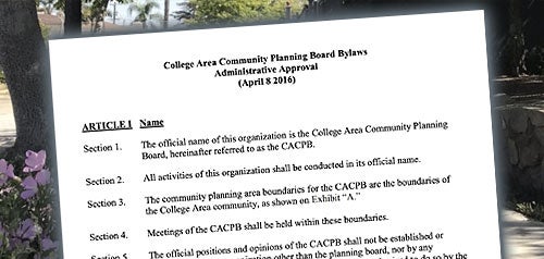
Community Planning
Planning Department
9485 Aero Drive, M.S. 413
San Diego, CA 92123
619-235-5200
planning@sandiego.gov