San Ysidro Community Plan
Adopted on Nov. 15, 1995.
For a hard copy, contact City Clerk at 619-533-4000.
Includes agendas and minutes

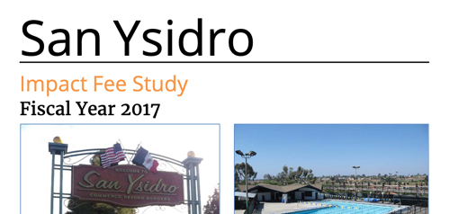
About San Ysidro
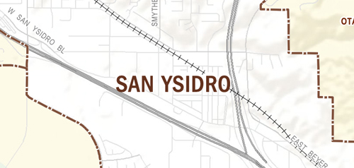
The San Ysidro Planning Area encompasses approximately 1,800 acres in the southernmost part of the City of San Diego adjacent to the international border with Mexico. Until its annexation by the City of San Diego in 1957, San Ysidro (and surrounding communities) were part of the unincorporated areas supervised by the county of San Diego. In the mid 1960s, San Diego began a decentralized planning program and in 1967, recognized the San Ysidro Planning and Development Group as the citizen planning committee that would work with the City's Planning Department. The San Ysidro Community Plan was adopted by the City Council in 1974, and updated in 1990 and 2016.
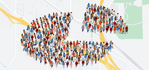
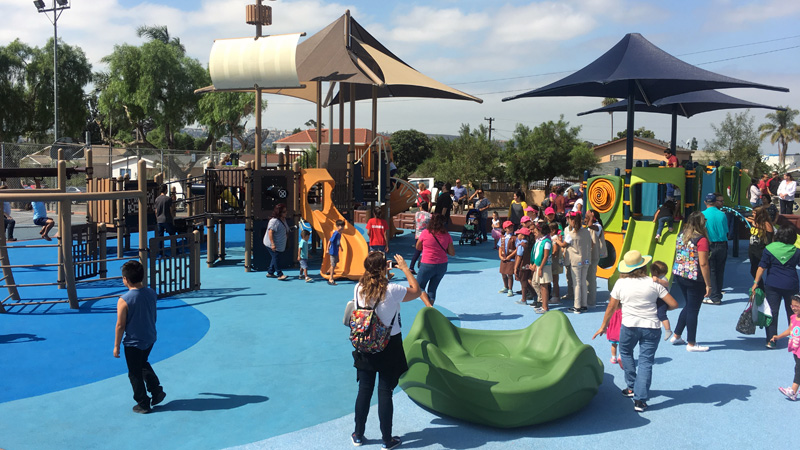
The San Ysidro border crossing is the busiest international border in the world. San Ysidro is an important gateway from Mexico to the rest of San Diego and the United States. More than a century of settlement and development makes San Ysidro a changing, dynamic community with a village atmosphere. The architectural and cultural qualities from different periods of its evolving history have been retained and are captured in this village feel. San Ysidro began as an experiment to preserve rural America and has emerged as a multicultural area attempting to maintain its sense of community. Some neighborhoods are characterized by older homes with well-tended gardens where residents know their neighbors while newer, urban neighborhoods and infill development have recently added to the mix of housing stock. Commercial activity occurs along the historic San Ysidro Boulevard and the Las Americas Center on Camino de la Plaza. Cohesion of the community is fragmented by the railroad and trolley tracks and Interstates 5 and 805.
San Ysidro is in Council District 8.
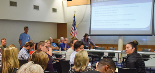
Community Planning
Planning Department
9485 Aero Drive, M.S. 413
San Diego, CA 92123
619-235-5200
planning@sandiego.gov