Carmel Valley Community Plan
Adopted February 27, 1975.
For a hard copy, contact City Clerk at 619-533-4000.

Includes agendas and minutes
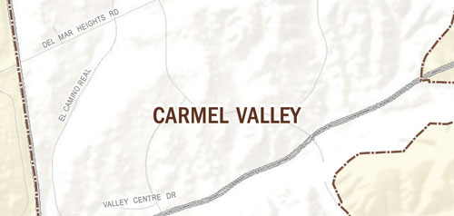

About Carmel Valley
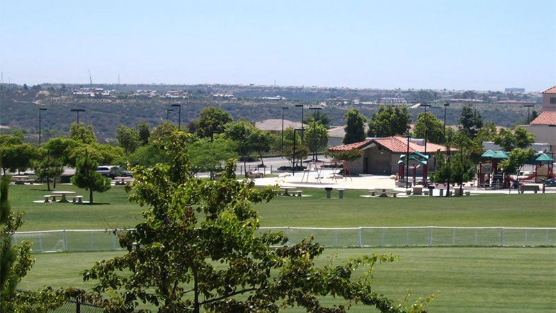
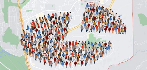
Carmel Valley is a master-planned community located along the Interstate 5 corridor. The community contains corporate offices, hotels, shopping, and restaurants. Recreational options include neighborhood parks and a community recreation center. Carmel Valley includes open space areas and an extensive trail system. City facilities include a fire station, police station, and library.
The earliest known inhabitants of Carmel Valley were the La Jolla and subsequent Ipai peoples, who left cultural artifacts along the banks of Carmel Creek. During the Rancho period, the area was known as Cordero, after a Spanish "leather jacket" soldier. Following the California Gold Rush, miners drifted south and established homesteads here. McGonigle Canyon was named after an early settler. An old adobe Butterfield pony express and stagecoach stop sat next to a spring along old El Camino Real until the late 1970s. Later, the area was largely used for horse farms and agriculture, focusing on drought tolerant crops such as lima beans, which were grown on the property that later became The Grand Del Mar golf course.
Around 1905 the Carmelite Sisters of Mercy established a dairy farm and monastery in the area. The site, on the south side of Carmel Creek, was connected by a bridge to the St. William of York Church, whose cemetery includes the graves of some of the nuns and priests. Among other things, the nuns raised pigs, and even now local animal-keeping provisions say, "except for swine." Carmel Mountain, the last undeveloped coastal mesa in Southern California, takes its name from these nuns.
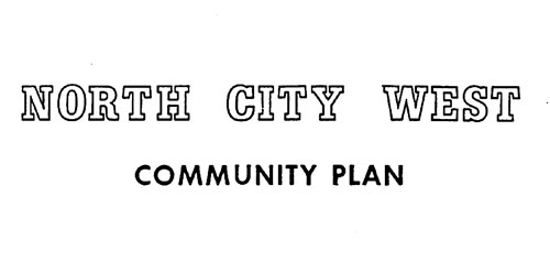
While the area has long been known to local residents as Carmel Valley, the master plan commissioned in 1974, adopted the name "North City West." This plan, inspired by Kevin Lynch, attempted to reduce sprawl by confining development to the mesa tops, leaving the canyons untouched. Planned development centered around an urban core surrounded by decreasing residential densities, where higher density residential areas were traded for increased community open space.
Carmel Creek, now largely marked by SR-56 and the CVREP corridor, was intended to meander freely to the sea, allowing water to return to the ground and providing residents with natural open space and recreational opportunities. The first houses in the planned community were built in 1983.
Carmel Valley is in Council District 1.
Community Planning
Planning Department
9485 Aero Drive, M.S. 413
San Diego, CA 92123
619-235-5200
planning@sandiego.gov