City Seal The City of San Diego
HomeContact the City
City Seal
City Seal Business City Hall Community Departments Information Leisure Services A-Z Visiting
Planning Department
Planning Department HomeAbout UsPrograms & ProjectsGeneral PlanCommunity PlanningBoards & CommissionsGet InvolvedDocument LibrarySite Map
Community Profiles
Photo of Community Neighborhood
  San Diego Community Profile: 
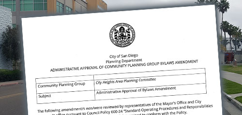
City Heights
 

Community Planning Quick Links

• Overview & Background
• Community Planning Groups (CPG)
•  Community Planning Groups Contact List (CPG) (PDF: 243K)
• Community Planners Committee (CPC)
• Community/Land Use Plans
•  Community Orientation Workshop (COW)
• Community Profiles
• Get Involved in Your Community
• Other Community Planning Resources
• Community Planning Home


Go Button

Don't know what community you are in? View General Community Map

City Heights Community Links
•  Community Planning Group Agendas
• Current Community Plan
•  Community Planning Group Info (PDF: 143K)
• Community Contact Information
• Demographic Information (PDF)
•  Parks & Other Community Services
• Maps
• Existing Conditions

 Planning Programs
• General Plan & Community Plans
City of Villages Strategy for Smart Growth
• Multiple Species Conservation Program
Protecting Our Environment
• Historical Resources
Protecting Our Rich Cultural Heritage
• Facilities Financing
Long range fiscal planning for public facilities
• Transportation Planning
Enhancing Mobility in San Diego
• Maps & Urban Analysis
Statistics & Customized Maps for Our Communities
• Document Library
Quick Access to Planning Re-Draft & Docketed Items

Photo of City Heights Library 
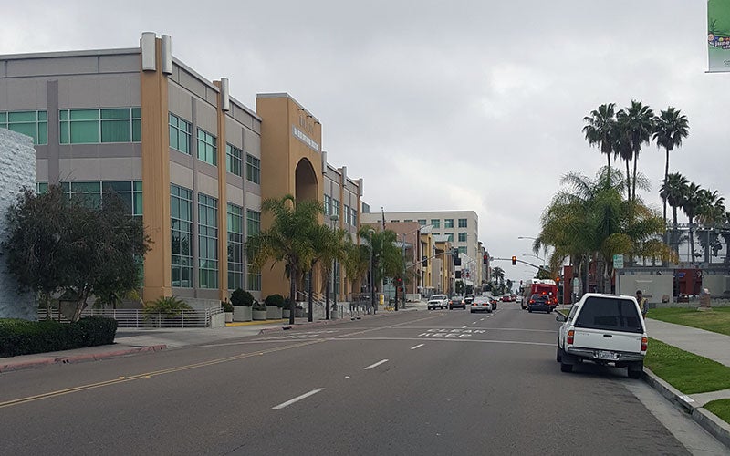
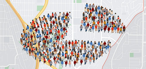
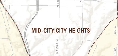
City Heights is centrally located in the San Diego metropolitan area, south of Mission Valley, north of the Martin Luther King Freeway (State Route 94), between Interstates 15 and 805 on the west and 54th Street on the east. Development in City Heights is a mixture of single-family and multi-family residential with commercial and other non-residential development concentrated along the major arterials, including El Cajon Boulevard, University Avenue, Fairmount Avenue, and Euclid Avenue. There are also pockets of neighborhood commercial areas throughout the community. A small portion of industrial development is located on the southern edge of the community.

Within City Heights there are sixteen distinguishable neighborhoods, each with its own identity. Neighborhoods that comprise City Heights are: Corridor, Teralta West, Teralta East, Colina Park, Cherokee Point, Castle, Azalea Park, Hollywood Park, Fairmount Park, Bayridge, Fairmount Village, Swan Canyon, Islenair, Ridgeview, Chollas Creek and Fox Canyon. Neighborhood associations in each neighborhood are the focal points for local control of local affairs and are the sources of recommendations to the City Council.

Additional Plan Documents

Azalea Park-Hollywood Park Revitalization Action Plan -DRAFT- (PDF: 1.6M)

Euclid Avenue Revitalization Action Plan (PDF: 1.4M)

Chollas Creek Enhancement Program

The City of San Diego is undertaking the Chollas Creek Enhancement Program as a key element in revitalizing this culturally-rich portion of the City. The goal is to create an open space system that lends identity to this area and provides a safe recreational and natural resource for the region.

Construction on two Pilot Projects for the Chollas Creek Enhancement Program has begun. Segment 2A is at the intersection of Market Street and Euclid Avenue and Segment 8 is adjacent to the intersection of South 38th and Alpha Streets.The scope of this project includes the removal of concrete channels along the creek, restoration of native vegetation and the creation of a linear park type setting with the inclusion of a trail system and an educational / interpretive element. This project will transform these two sections of the creek and the surrounding areas into positive open space features that the community can be proud of.


Contact City Planning and Community Investment at (619) 235-5200 or e-mail us at planning@sandiego.gov
202 C Street, MS 4A, San Diego, CA 92101

| Planning Department Home | About Us | Programs & Projects | General Plan | Top of Page |
| Community Planning | Boards & Commissions | Get Involved | Document Library | Site Map |
Site Map Privacy Notice Disclaimers