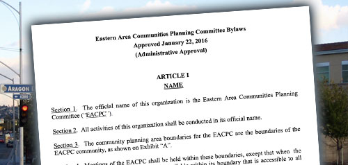
Eastern Area Community Plan


Includes agendas and minutes
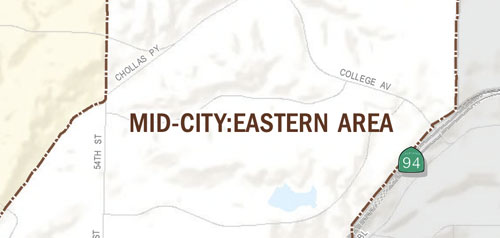

About Eastern Area
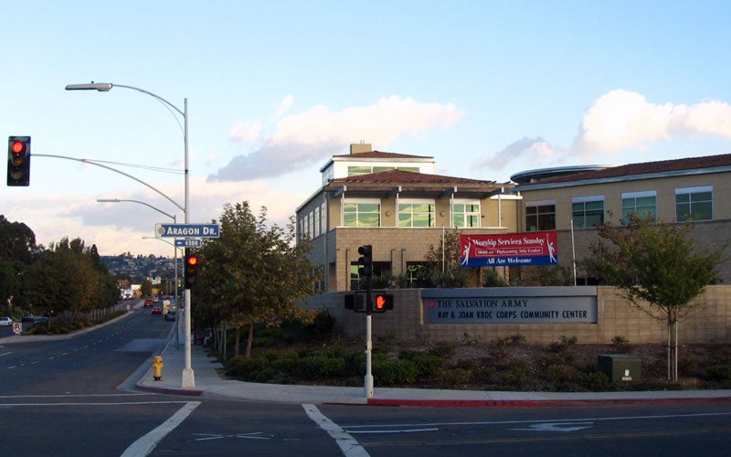
El Cerrito Heights, Rolando, Rolando Park, Redwood Village, Oak Park and Webster are neighborhoods that make up the Eastern Area. El Cerrito Heights is a hilly neighborhood that predominantly contains single-family homes with some multi-family development along El Cajon Boulevard and University Avenue, which are the main east-west corridors in the Eastern Area. The rolling hills of Rolando and Rolando Park are among the more recently developed neighborhoods of Mid-City, with Rolando developing prior to World War II and Roland Park in the mid-1950s. Both are predominantly single-family homes along curving streets, with some multi-family near the strip commercial development along El Cajon Boulevard and University Avenue. Darnall, Oak Park and Webster are neighborhoods that are predominantly single-family homes, but also include large multi-family complexes and a mobile home park both in Oak Park and in Webster. Oak Park is home to Chollas Lake Park.
Eastern Area is in Council District 4 and Council District 9.
Community Planning
Planning Department
9485 Aero Drive, M.S. 413
San Diego, CA 92123
619-235-5200
planning@sandiego.gov