Encanto Neighborhoods Community Plan
Adopted November 16, 2015.

Includes agendas and minutes
About Encanto Neighborhoods
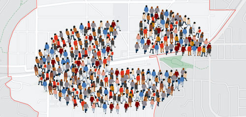
The eight communities that make up the Encanto neighborhoods planning area are Emerald Hills, Chollas View, Lincoln Park, Valencia Park, Alta Vista, O’Farrell, Broadway Heights and Encanto. The oldest of these, Encanto, was subdivided in 1907 and advertised for “suburban homes and small farms.” While Encanto has maintained much of its semi-rural character, the other seven neighborhoods are largely suburban with single family residential development.
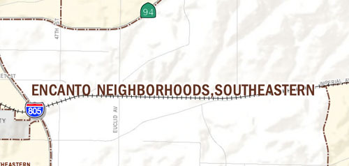
The Encanto Neighborhoods Community Plan is designed to expand the existing retail, commercial and light industrial areas along the main transportation corridors and the villages surrounding the trolley stops at 47th and Market streets, and Euclid Avenue and Market Street. Its cultural heart is the Market Street Village, situated along Chollas Creek and the trolley stop at the intersection of Euclid Avenue and Market Street. Its most notable geologic features are the hills and canyons that form the historic South Chollas Valley and the southern part of the Chollas Watershed. The area offers excellent opportunities for infill development, including commercial, transit-oriented mixed use along the main corridors, and view lots for single family residential in the surrounding hills.
Encanto is in Council District 4.
Community Planning
Planning Department
9485 Aero Drive, M.S. 413
San Diego, CA 92123
619-235-5200
planning@sandiego.gov