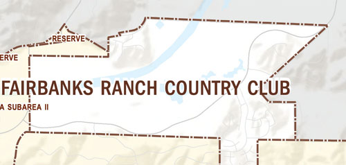
Fairbanks Ranch Country Club Community Plan


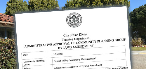
The Fairbanks Ranch Country Club community has representatives on the Carmel Valley Community Planning Board.
Includes agendas and minutes

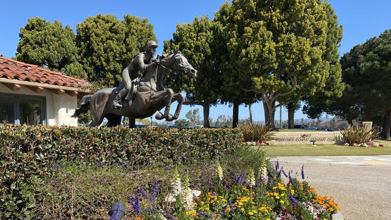
About Fairbanks Ranch Country Club
The Fairbanks Country Club community is in the northwest region of the City of San Diego. The community consists of approximately 785 acres within the San Dieguito River Valley. The valley broadens from a narrow, steep gorge approximately 1.5 miles to the north, into a broad valley which extends through the community toward the Pacific Ocean to the west. The valley floor ranges from one-half to one mile wide in the vicinity of the community and is bounded by steep slopes. The major natural land characteristics of the area are the floodplain, adjacent slopes of the valley, and the San Dieguito River.
With the adoption of the 1982 plan, specific areas of the community were designated for residential and open space land uses. The developed residential areas consist of detached single-family units and condominiums located on the south and north slopes. The designated open space includes areas of recreational uses, such as the golf course, as well as the San Dieguito River corridor, and adjacent slopes of the valley. Through sensitive design and open space land uses, the community retains its rural and open space character.
Fairbanks Ranch Country Club is in Council District 1.
Community Planning
Planning Department
9485 Aero Drive, M.S. 413
San Diego, CA 92123
619-235-5200
planning@sandiego.gov