Greater Golden Hill Community Plan
-

-

Includes agendas and minutes


About Greater Golden Hill
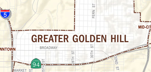
The Greater Golden Hill community planning area is an urbanized community consisting of approximately 746 acres, located east of downtown San Diego and adjacent to Balboa Park. The community has a long-standing development history within the region and encompasses the historic Golden Hill and South Park neighborhoods as well as several adjacent areas such as Choate's addition and Brooklyn Heights.
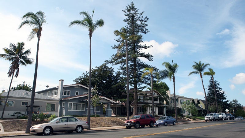
The area's topography comprises a series of gently rolling marine terraces broken by four steeply sloping canyon areas. The community has a long and colorful history which is visible in the eclectic mix of architectural styles, many of which are comparatively rare in San Diego today. The distinctive qualities of these traditional buildings contribute to the community’s overall scale, character, and identity. The community plan update was adopted in 2016.
Greater Golden Hill is in Council District 3.
Community Planning
Planning Department
9485 Aero Drive, M.S. 413
San Diego, CA 92123
619-235-5200
planning@sandiego.gov