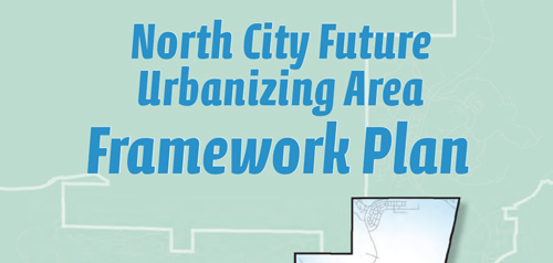
City Seal The City of San Diego
HomeContact the City
City Seal
City Seal Business City Hall Community Departments Information Leisure Services A-Z Visiting

Community Profiles
Photo of Community Neighborhood
  San Diego Community Profile: North City Future Urbanizing Area Subarea II
 

Community Planning Quick Links

• Overview & Background
• Community Planning Groups (CPG)
•  Community Planning Groups Contact List (CPG) (PDF: 243K)
•  Community Planning Group Bylaws
• Community Planners Committee (CPC)
•  Community/Land Use Plans
•  Community Orientation Workshop (COW)
• Electronic Community Orientation Workshop (E-COW)
• Community Profiles
• Get Involved in Your Community
•  Other Community Planning Resources
• Community Planning Home


Go Button

Don't know what community you are in? View General Community Map

 North City FUA Community Links
• Current Community Plan
• Community Planning Group Info (PDF)
• Community Contact Information
• Demographic Information (PDF)
•  Parks & Other Community Services

 Planning Programs
• General Plan & Community Plans
City of Villages Strategy for Smart Growth
• Multiple Species Conservation Program
Protecting Our Environment
• Historical Resources
Protecting Our Rich Cultural Heritage
• Facilities Financing
Long range fiscal planning for public facilities
• Transportation Planning
Enhancing Mobility in San Diego
• Maps & Urban Analysis
Statistics & Customized Maps for Our Communities
• Document Library
Quick Access to Planning Re-Draft & Docketed Items

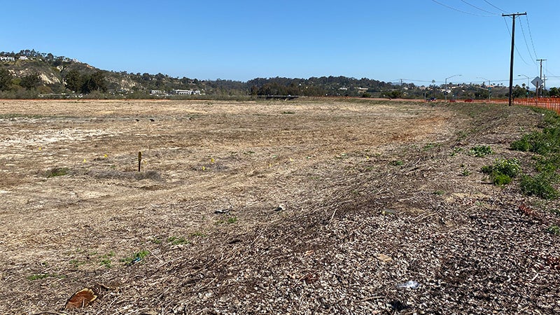
North City Future Urbanizing Area Subarea II (San Dieguito) is located north of the Carmel Valley community between Interstate 5 and Fairbanks Country Club. The natural resources and landform that comprise the San Dieguito River Valley are the prominent features of this planning area. Most uses within this portion of the river valley are related to agriculture or recreation. A large portion of the valley has been acquired as open space by the City of San Diego Multiple Species Conservation Program and the San Dieguito River Park Joint Powers Authority (JPA). The JPA is the multi-government agency, of which the City is a part, responsible for implementation and management of the River Park . Future JPA projects include restoration of lagoon wetlands and development of the ‘Coast to Crest’ trail along the river.

The most significant land use planning initiative that affects Subarea II is the growth management program defined by the Guidelines for Future Development of the Progress Guide and General Plan and various City Council policies. Growth management is intended to prevent premature urbanization to efficiently manage public and private resources based primarily upon geographic and fiscal constraints. Voter approval of Proposition ‘A’ in 1985 assured that a city-wide vote would decide any future shift of lands out of the General Plan’s ‘Future Urbanizing’ classification. While other nearby portions of the Future Urbanizing area have been re-classified to allow urban growth, it is likely that Subarea II will remain ‘Future Urbanizing’ due to its limited development potential. Planning and land use policies for this area are contained in the North City Future Urbanizing Area Framework Plan and the Progress Guide and General Plan.

Contact Development Services Department, Planning Division at (619) 235-5200
or email us at planning@sandiego.gov
1222 First Avenue, MS 413, San Diego, CA 92101

| Planning Division Home | About Us | Programs & Projects | General Plan | Top of Page |
| Community Planning | Boards & Commissions | Get Involved | Document Library | Site Map |
Site Map Privacy Notice Disclaimers