Ocean Beach Community Plan
-
Adopted Nov. 9, 2015. Certified by the California Coastal Commission on Jan. 7, 2016.
For a hard copy, contact City Clerk at 619-533-4000.
-

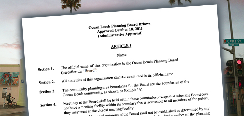
Includes agendas and minutes

About Ocean Beach

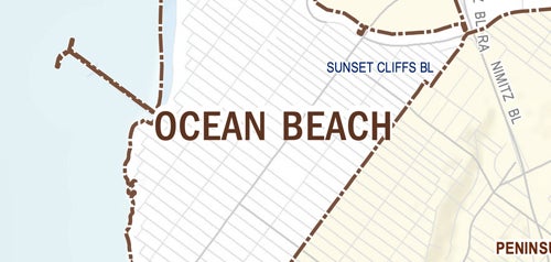
The community of Ocean Beach includes 642 acres, the majority of which are developed with low and medium density residential uses. Ocean Beach contains three residential sub-areas: North Ocean Beach, north of the mid-block between Santa Monica and Saratoga avenues; South Ocean Beach, south of Niagara Avenue; and The Hill, east of Sunset Cliffs Boulevard. Three primary commercial areas exist along Newport Avenue, Voltaire Street and Point Loma Avenue, which contain a diverse mix of small businesses.
Ocean Beach is in Council District 2.
Community Planning
Planning Department
9485 Aero Drive, M.S. 413
San Diego, CA 92123
619-235-5200
planning@sandiego.gov