Otay Mesa-Nestor Community Plan
Adopted May 6, 1997.
For a hard copy, contact City Clerk at 619-533-4000.

Includes agendas and minutes
About Otay Mesa-Nestor
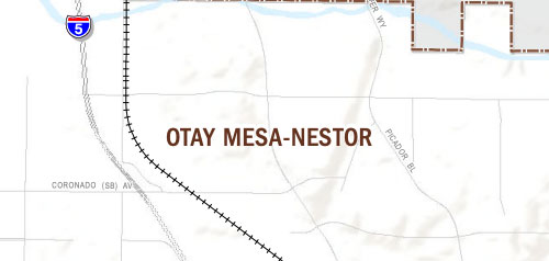
The Otay Mesa-Nestor community planning area is located in the southern region of the City, and is bounded on the north by Chula Vista, on the east by the community of Otay Mesa, on the south by the Tijuana River Valley and the San Ysidro community, and on the west by Imperial Beach.
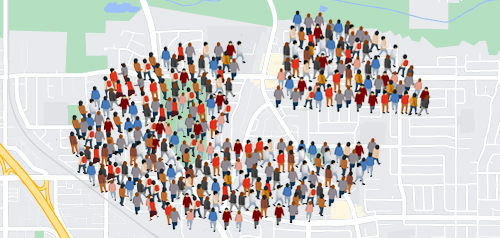
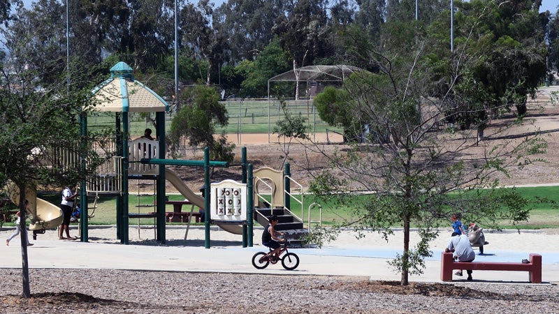
The Otay Mesa-Nestor community's planning history as part of the City of San Diego began in 1957 when the area was annexed to the City from the County of San Diego. In 1957 there were less than 1,000 housing units in the area, but by the late 1960s, residential development had accelerated dramatically. The first Otay Mesa-Nestor Community Plan was adopted in 1979, and then updated in 1997. Otay Mesa-Nestor is an urbanized community, with the majority of the planning area (excluding the Salt Ponds) covered with residential land uses.
The Otay and Tijuana River valleys define the northern and southern boundaries of the planning area and are characterized by wetlands and riparian habitats influenced by seasonal rains and stream flow. The Otay Valley Regional Park (a joint planning effort by the cities of Chula Vista and San Diego and the county) will link San Diego Bay to the Otay Lakes while providing recreational and educational opportunities for community and regional visitors. The Tijuana River Reserve (a partnership between national, state, and local agencies) encompasses 2,500 acres surrounded by the cities of Tijuana, Imperial Beach and San Diego.
Otay Mesa-Nestor is in Council District 8.
Community Planning
Planning Department
9485 Aero Drive, M.S. 413
San Diego, CA 92123
619-235-5200
planning@sandiego.gov