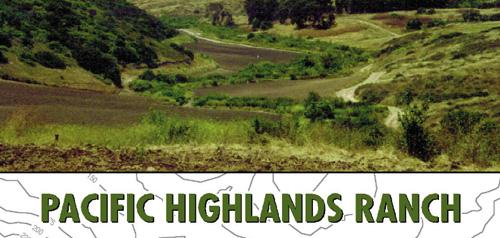
Pacific Highlands Ranch Community Plan

Pacific Highlands Ranch has one representative on the Carmel Valley Community Planning Board.
Includes agendas and minutes
About Pacific Highlands Ranch
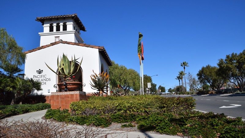
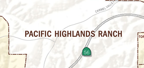
Pacific Highlands Ranch is located in the northwestern portion of the North City Future Urbanizing Area (NCFUA) and encompasses approximately 2,652 acres of predominately undeveloped land. Pacific Highlands Ranch is bounded by the community of Fairbanks Ranch to the north, Torrey Highlands (Subarea IV) to the east, Del Mar Mesa (Subarea V) to the south, and the community of Carmel Valley to the west.
In 1992, the City Council adopted the NCFUA Framework Plan as an amendment to the General Plan. The Framework Plan recommends that the Pacific Highlands Ranch Subarea include up to 5,470 residential units, a mixed-use community core with 400,000 square feet of commercial and office uses, multi-family housing, public and semi public uses, schools and parks.
The unique element of the planning process in the NCFUA is the voter adopted Managed Growth Initiative Proposition A. This legislation, adopted in 1985, required a majority vote of the electorate to shift the Pacific Highlands Ranch Area from Future Urbanizing to Planned Urbanizing within the City. In 1998, the City Council adopted the Pacific Highlands Ranch Subarea Plan for Subarea III of the NCFUA. In November 1998, voters approved Proposition M, which approved an amendment to the City's General Plan to allow a phase shift within Pacific Highlands Ranch from Future Urbanizing to Planned Urbanizing.
Pacific Highlands Ranch is in Council District 1.
Community Planning
Planning Department
9485 Aero Drive, M.S. 413
San Diego, CA 92123
619-235-5200
planning@sandiego.gov