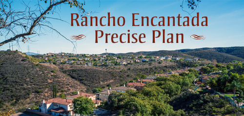
Rancho Encantada Community Plan
-
-

Represented by the Scripps Miramar Ranch Planning Group
-
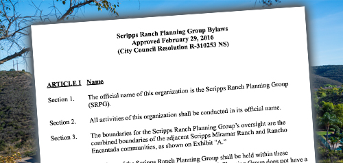
Represented by the Scripps Miramar Ranch Planning Group

About Rancho Encantada
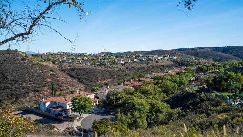
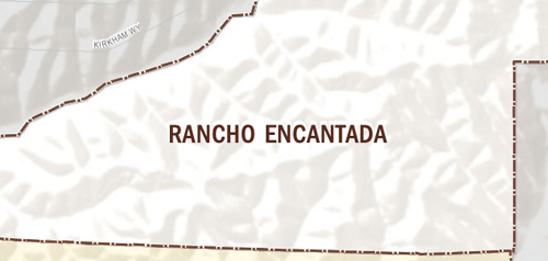
The community of Rancho Encantada is located east of Scripps Ranch and planned for limited residential development. The community is defined by its rugged topography characterized by eroded ridges and canyons ranging in elevation. The community has been designed to protect the majority of the steep hillsides, canyons, and ravines. The Rancho Encantada Precise Plan designates the majority of the community for parks and open space.
Rancho Encantada is in Council District 5.
Community Planning
Planning Department
9485 Aero Drive, M.S. 413
San Diego, CA 92123
619-235-5200
planning@sandiego.gov