Rancho Peñasquitos Community Plan

Adopted 1993. For a hard copy, contact City Clerk at 619-533-4000.

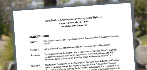
Includes agendas and minutes

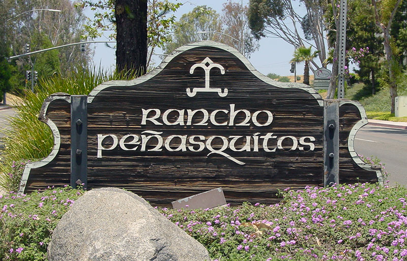
About Rancho Peñasquitos
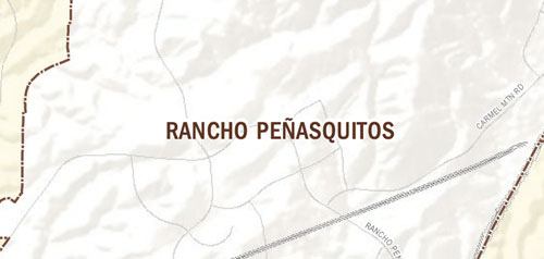
The community of Rancho Peñasquitos encompasses approximately 6,500 acres including Black Mountain Regional Park. Approximately half of Rancho Peñasquitos is designated for residential development with additional areas for parks and open space and commercial. The community has a diverse topography that is characterized by numerous canyons, hillsides and ridges. The most prominent feature of the community is Black Mountain which rises to an elevation of 1,500 feet.
Rancho Peñasquitos is in Council District 5 and Council District 6.
Community Planning
Planning Department
9485 Aero Drive, M.S. 413
San Diego, CA 92123
619-235-5200
planning@sandiego.gov