Kearny Mesa Community Plan
-
Adopted November 2020.
For a hard copy, contact City Clerk at 619-533-4000.
-

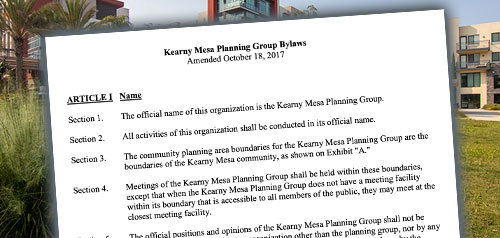
Includes agendas and minutes

About Kearny Mesa
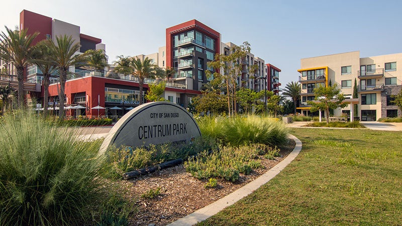
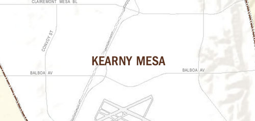
The Kearny Mesa Community Planning Area encompasses approximately 4,400 acres in the City of San Diego. The first urbanization of Kearny Mesa began in 1937 with an airfield. Around the airport, 1,400 acres of surrounding property became an industrial park, and beginning in 1955 with General Dynamics, numerous aerospace, electronic, and other industrial and office firms located in the area. Over the years, commercial and residential areas also grew particularly with the development of Stonecrest in the southeast corner of the community and the redevelopment of the General Dynamics site, now known as Spectrum. Read more in the Historic Context Statement for the Kearny Mesa Community Planning Area.
The original 1977 Serra Mesa Community Plan encompassed Kearny Mesa until Kearny Mesa became its own community planning area in 1992. The Kearny Mesa Community Plan was updated in 2020 with a vision for growth as a vibrant employment community with thriving businesses and active spaces that support economic growth.
Kearny Mesa is in Council District 6 and Council District 7.
Community Planning
Planning Department
9485 Aero Drive, M.S. 413
San Diego, CA 92123
619-235-5200
planning@sandiego.gov