University Community Plan


Includes agendas and minutes


About University
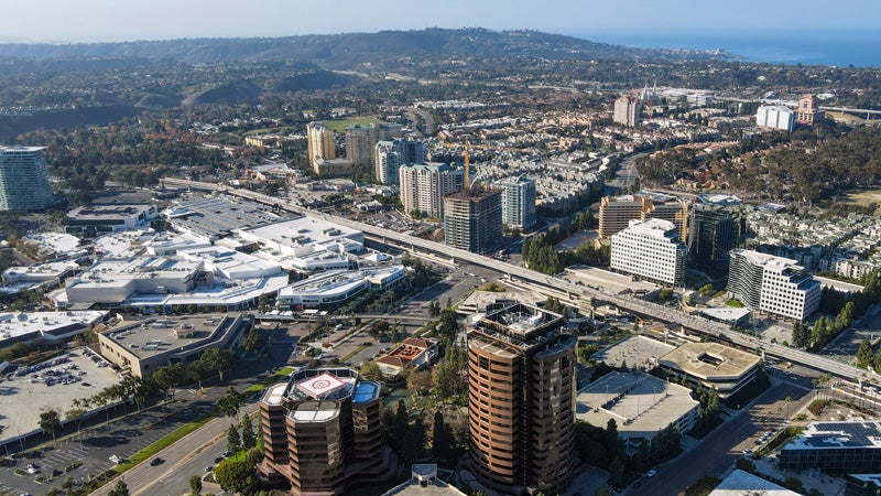
The University Community Planning Area encompasses approximately 8,700 acres. Within the planning areas are UCSD and Torrey Pines State Reserve which are outside the jurisdiction of the City. The University Community Plan was originally adopted in 1987 and designated a significant portion of University, particularly the southern part of the Planning Area, as residential, with parks, golf courses, and open spaces in the northern and central portions of the Planning Area. Commercial uses are distributed along major corridors with clusters of employment centers in the north and eastern parts of the Planning Area.
University is in Council District 1 and Council District 6.
Community Planning
Planning Department
9485 Aero Drive, M.S. 413
San Diego, CA 92123
619-235-5200
planning@sandiego.gov