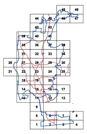
Development Services

Zoning Grid Map

Select a grid to see the zoning over that entire area. You can zoom in on specific areas and parcels to see the zoning that reflects the City’s current information. There is also a legend that shows the map color and the zone designation (zone name) for that color.

Because the City has so many zones, some colors are very similar and may be difficult to differentiate on the map. The map also has labeled as many streets and zones as practical based upon graphic constraints so not all streets and zones could be labeled. If you know the property's address, we recommend that you search by address instead.

For assistance with the grid map, call 619-446-5000 or email dsdweb@sandiego.gov.

Zoning Grid Map
Grid 49 Grid 48 Grid 47 Grid 46 Grid 45 Grid 44 Grid 43 Grid 42 Grid 41 Grid 40 Grid 39 Grid 38 Grid 37 Grid 36 Grid 35 Grid 34 Grid 33 Grid 32 Grid 31 Grid 30 29 Grid 28 Grid 27 Grid 26 Grid 25 Grid 24 Grid 23 Grid 22 Grid 21 Grid 20 Grid 19 Grid 18 Grid 17 Grid 16 Grid 15 Grid 14 Grid 13 Grid 12 Grid 11 Grid 10 Grid 09 Grid 08 Grid 07 Grid 06 Grid 05 Grid 04 Grid 03 Grid 02 Grid 01

Other Resources