Thriving Natural Environments
Thriving Natural Environments Policies
Expand a policy to view related resilience and adaptation strategies and their implementation statuses.
Implementation Highlights
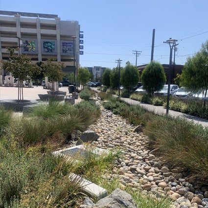
In FY25, the Stormwater Department developed the second version of the Climate Change Resilient Stormwater System Design Guidelines based on the recently updated State of California Sea Level Rise Guidance, which provides the best available science and policy recommendations. The Climate Change Resilient Stormwater System Design Guidelines provide recommended design criteria for green infrastructure and drainage infrastructure that consider future flood conditions due to changes in precipitation patterns and sea level rise.
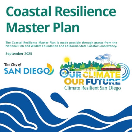
City Planning continued development of the Coastal Resilience Master Plan. The Coastal Resilience Master Plan develops concept level design of nature-based solutions for six locations along the City's coastline to mitigate the impacts of sea level rise. In FY25, City Planning released the draft plan and Program Environmental Impact Report for public review and held community webinars and pop-ups events to solicit feedback on the plan. The plan was presented to the Resiliency Advisory Board and Environment Committee in spring of 2025 and was adopted by City Council in September 2025. To learn more about the plan, visit the webpage.
Trees and green spaces improve air quality, create a buffer between freeways and homes, create cooler sidewalks improving walkability and bikeability, beautify neighborhoods, and provide public areas to congregate and develop relationships that improve neighborhoods holistically. In FY25 more than 4,300 new trees were planted in the street right-of-way and parks. Through a U.S. Forest Service grant, the City analyzed 2021 remote sensing data of the tree canopy cover. There was a 2% increase since the last analysis in 2014. The City’s new tree canopy cover value is at 15% as of 2021.
The Multiple Species Conservation Program Annual Report details progress towards achieving the City's conservation goal of 52,727 acres of habitat to be preserved within the Multi-Habitat Planning Area. In FY25, the 2024 Multiple Species Conservation Program Annual Report was completed. For this reporting year, the City recorded a total habitat gain of approximately 80 acres (61 acres inside the MHPA and 19 acres outside the MHPA). With these habitat gains, the City has achieved over 99% of its conservation goal.
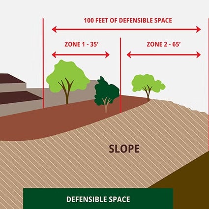
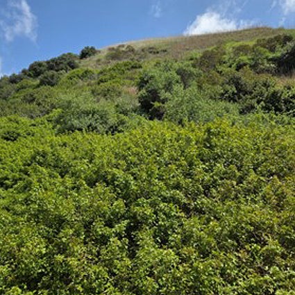
The City launched a new brush management webpage to inform residents about the importance of properly maintaining trees and landscaping to protect homes and communities from wildfire risks. On the webpage, community members can learn the basics of brush management to reduce the risk of fires and give firefighters more time and room to respond to a fire. The webpage also provides key steps to follow for people who live near environmentally sensitive lands.
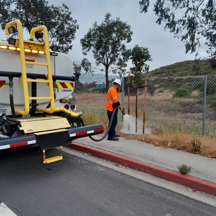
The City completed a geospatial analysis to provide a data and equity-driven roadmap for determining Natural Resource Management Plan (NRMP) boundaries and prioritizing future NRMP preparation. NRMPs are documents that provide insight into existing and historical conditions within designated boundaries in order to provide guidance for area-specific land management. Proposed NRMP boundaries were delineated based on several factors, including watershed, habitat connectivity, habitat type and Multi-Habitat Planning Area (MHPA) designation. The preliminary prioritization is based on a geospatial analysis that included several metrics relevant to the Multiple Species Conservation Program and equity: connectivity-core size, connectivity-linkage length, species diversity of rare plants, species diversity of rare animals, socio-economic status/climate vulnerability and percent of city-owned land. A full report (NRMP Strategic Roadmap) detailing the methods, results and recommendations resulting from this analysis is expected to be published in 2026.