Map Your Own Districts/Preliminary Map
On Wednesday, December 15, 2021, the Commission voted (7-2) to approve the final map which can be reviewed in Map 92973. On January 20, 2022, the Commission concluded its work and per the City Charter, dissolved until the next federal decennial census takes place in 2030. Although the Redistricting Commission website will stay up, no additional updates will be provided, and no maps or feedback can be submitted using the redistricting mapping tool.
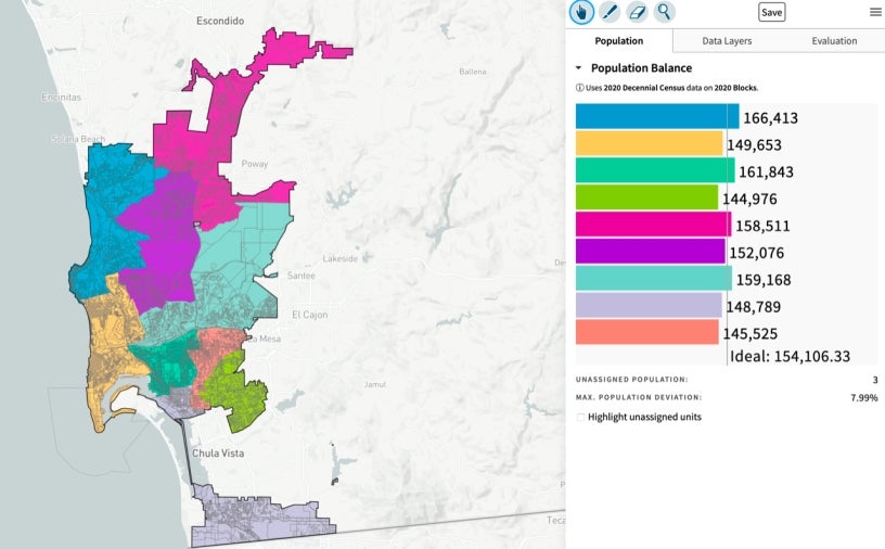
A link to our Districtr redistricting mapping tool is available for you to submit your own maps and feedback.
Before you start creating your new City Council districts, please read the information below:
The redistricting mapping tool allows you to create your own map of new City Council districts using 2020 census data. The tool allows you to see how many residents are assigned to each district that you create and provides demographic information such as the racial composition of your districts. You can save your maps, modify them later, and send them to the Commission for review. You can also send the Redistricting Commission comments about anything related to the redistricting process, without having to draw a map.
How to save your map:
If you're not ready to submit your map, no problem. Here are detailed instructions on how to save what you have done: ![]() Saving Your Map or Community of Interest
Saving Your Map or Community of Interest
The redistricting mapping tool contains the following information:
2020 US Census population data at the ‘Census Block’ level - this is the smallest unit of geography the census produces data at. City Council boundaries must be created using these building blocks. Shortly after September 20, 2021, the totals of some census blocks might slightly change when the California Statewide Database publishes its final processing of the 2020 U.S. census data.
To help orient yourself with the map, major streets are labeled, and you can also display the following boundary layers for reference:
- Current City Council boundaries
- Community Planning Group boundaries (note 1)
- San Diego neighborhood boundaries (note 1,2)
- School District boundaries (such as Poway USD, San Diego USD, etc.)
All boundaries were imported from the San Diego Association of Government’s (SANDAG) geographic boundary data files, and follow their naming conventions.
Note 1 The Community Planning Group boundaries in the redistricting mapping tool look a little different in some instances from the boundaries displayed on the City of San Diego website at the Community Profiles page at https://www.sandiego.gov/planning/community/profiles. All boundaries in the redistricting mapping tool must be comprised of whole census blocks, causing slight differences with the City Community Planning Group boundaries. Please note that the Community Planning Group boundaries in the tool are for reference only. They are not the official boundaries as displayed on the City of San Diego website. The is also true for the San Diego neighborhood boundaries.
Note 2. The ’San Diego neighborhood boundaries’ are not meant to represent definitive, official representations of neighborhoods. They are included in the redistricting mapping tool simply to provide an approximation of neighborhoods.
Additional Mapping Resources: