Water Levels
Last updated on July 20, 2026
Water Levels are updated weekly but may be sporadic or late due to unforeseen circumstances.
Automated Level Sensors show with webcam, topography map, and charts.
| Reservoir | Depth When Full | Current Depth | Storage Capacity (AF) | Current Storage (AF) | Storage Change (AF) | Percent Full | Spill MGD |
|---|---|---|---|---|---|---|---|
| Barrett | 160.88 ft | 142.00 ft | 34,805.50 | 22,041.40 | 65.21 | 63.00% | 0 |
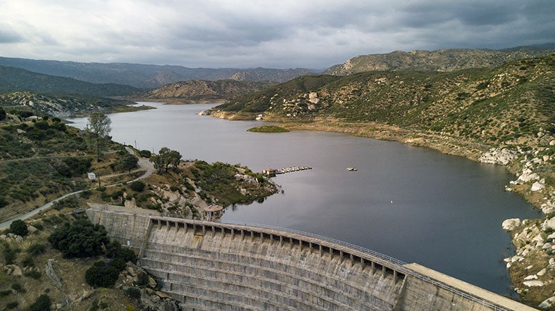
| El Capitan | 197.00 ft | 86.30 ft | 112,806.90 | 11,043.50 | 6.84 | 10.00% | 0 |
| Hodges | 115.00 ft | 71.00 ft | 30,632.61 | 3,218.10 | (60.48) | 11.00% | 0 |
| Miramar | 114.00 ft | 103.40 ft | 6,682.40 | 5,190.80 | 71.90 | 78.00% | 0 |
| Morena | 157.00 ft | 107.00 ft | 50,694.0 | 6,938.80 | 168.84 | 14.0% | 0 |
| Murray | 95.00 ft | 87.40 ft | 4,684.20 | 3,492.40 | 6.85 | 75.00% | 0 |
| Lower Otay | 137.50 ft | 118.00 ft | 47,066.90 | 29,435.00 | 0 | 63.00% | 0 |
| San Vicente | 306.00 ft | 212.78 ft. | 249,358.0 | 116,036.00 | 1,745.64 | 47.00% | 0 |
| Sutherland | 145.00 ft | 63.60 ft. | 29,508.11 | 2,524.80 | (835.19) | 9.00% | 0 |
AF = acre-foot; 1 acre-foot equals about 326,000 gallons or enough water to cover an acre of land, about the size of a football field, one foot deep. MGD = Million gallons per day.
Launch Ramp Operation Levels
| Reservoir | Elevation and Gauge of Water Level at Spill | Elevation and Gauge of Lowest Water Level for Operable Ramp | ||
|---|---|---|---|---|
| Elevation | Gauge | Elevation | Gauge | |
| Barrett | 1,607.00 ft | 160.88 ft | No Ramp | No Ramp |
| El Capitan | 750.00 ft | 197.00 ft | 663.00 ft | 110.00 ft |
| Hodges | 315.00 ft | 115.00 ft | 292.00 ft | 92.00 ft |
| Miramar | 714.00 ft | 114.00 ft | 705.00 ft | 105.00 ft |
| Murray | 536.50 ft | 95.00 ft | 527.50 ft | 86.00 ft |
| Lower Otay | 484.20 ft | 137.50 ft | 465.70 ft | 119.00 ft |
| San Vicente | 766.00 ft | 306.00 ft | 640.00 ft | 180.00 ft |
| Sutherland | 2,057.00 ft | 145.00 ft | 1,982.00 ft | 70.00 ft |