Reservoir Dams
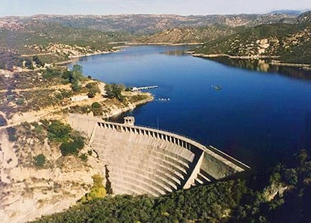 All City of San Diego reservoir dams are regularly inspected by the California Division of Safety of Dams. The City operates each dam and reservoir in accordance with state requirements to ensure their safe condition and the safety of surrounding communities.
In the event of a planned or emergency water release, the community will be notified, and information will be posted on the City’s Reservoir Lakes website as well as on City social media channels.
We encourage you to review the maps below to see if you live downstream from one of our reservoirs. Resources about emergency preparedness are available from the City and the County.
If you're unable to open any of the following files in your browser, these documents can be downloaded and viewed using the free Adobe Reader.
| Dam | Year Built | Current Condition | Map |
|---|---|---|---|
| Barrett | 1922 | Fair | |
| Chollas Dam | 1901 | Satisfactory | Chollas Map |
| El Capitan | 1935 | Poor | |
| Hodges | 1918 | Unsatisfactory | |
| Miramar | 1960 | Satisfactory | |
| Morena | 1912 | Poor | |
| Murray | 1950 | Fair | |
| Lower Otay (Savage) | 1918 | Poor | |
| San Vicente | 1943, raised 2016 | Satisfactory | |
| Sutherland | 1954 | Satisfactory |
For more information, please contact the Public Utilities Department at lakes@sandiego.gov or 619-527-3932.