FEMA's Physical Map Revision (PMR)
The Federal Emergency Management Agency (FEMA) is updating the City of San Diego’s flood risk maps.
These new maps will take effect on March 3, 2026, and they may change the flood insurance and regulatory requirements that apply to your property.
A FEMA’s Physical Map Revision (PMR) is a formal update to the Flood Insurance Rate Maps (FIRMs) and Flood Insurance Study (FIS) for a community.
When FEMA issues these updates, several technical changes can occur, including:
- Flood zone boundaries can expand or shrink
- Base Flood Elevations (BFEs) can increase or decrease
These changes can affect people in different ways:
- Some property owners and renters may find that their home or business is now included within a flood zone boundary
- Others may discover that their home or business has been removed from a flood zone boundary
As a result:
- For properties added to a flood zone:
Flood insurance may be required to obtain or maintain a mortgage, and all development must comply with flood protection standards - For properties removed from a flood zone:
Flooding can still occur at any time, but you may no longer be required to carry flood insurance, or you may be eligible for coverage at a reduced cost
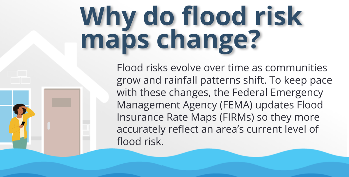
Why Do Flood Risk Maps Change?
Flood risks evolve over time as communities grow and rainfall patterns shift. To keep pace with these changes, the Federal Emergency Management Agency (FEMA) updates Flood Insurance Rate Maps (FIRMs) so they more accurately reflect an area's current level of flood risk.
How Do I Find Out If I'm Affected?
Visit the updated flood maps page to see how this update impacts your property.
This map will display two sets of information:
 Blue shows the flood zone boundaries in place before March 3, 2026
 Yellow shows the new flood zone boundaries that will take effect on March 3, 2026.
Learn More About Flood Insurance
Even if flood insurance is not required for your property, all owners and renters are strongly encouraged to consider it. Standard homeowners insurance typically does not cover flood damage, which can leave you financially vulnerable.
Flood insurance can significantly reduce potential losses by helping support repair and rebuilding efforts after a flood.
Automatic 15% NFIP Discount
San Diego participates in the Community Rating System (CRS) and the National Flood Insurance Program (NFIP). Through this participation, property owners and renters automatically receive a 15% discount on their NFIP flood insurance premium, a valuable benefit not available in many other cities.
Two Types of NFIP Coverage
- Building Coverage: Up to $250,000 for residential properties and up to $500,000 for commercial properties
- Contents Coverage: Up to $100,000 for residential owners and renters, and up to $500,000 for commercial properties
- Renters can also purchase flood insurance. Even if you don’t own the building, you can buy a contents only policy to protect your personal belongings.
Waiting Period
Flood insurance typically has a 30‑day waiting period before coverage begins. However, when FEMA updates flood maps through a PMR, this waiting period is waived. If you purchase a policy because of a map change, coverage usually begins the next business day.
Newly Mapped Discount
If your property is newly added to a high-risk flood zone, you may qualify for a “newly mapped” discount during the first 12 months after the new maps take effect. After this 12 month period, premiums increase gradually each year until they reach the full risk-based rate.
Take Steps to Protect Your Property
In addition to flood insurance, there are several steps you can take to help protect your family and property:
- Stay aware by visiting AlertSanDiego to sign up for Countywide emergency alerts and receive timely flood and weather notifications.
- Stay prepared by visiting the Storm Preparedness page on the City of San Diego’s official website for practical tips and protective resources.
- Follow Think Blue San Diego on Instagram and Facebook for updates and educational content.
- Install flood vents in crawlspace foundation walls to help protect the structure by reducing pressure from rising floodwaters.
- Elevate air conditioning units and furnaces. These improvements not only help protect equipment during a flood but may also qualify you for flood insurance discounts.
- Maintain proper water runoff and drainage. Regularly clean gutters, downspouts, and splash pads so rainwater flows away from your home.
- Improve lot grading. Observe how water flows or pools around your home, often easiest to see during a typical rainstorm. Stormwater should always drain away from the building. If needed, adjust landscaping to improve runoff, such as filling low spots near the foundation, creating shallow swales to direct water, or reshaping the yard so it slopes away from the home.
What If I Don't Agree
If you believe your property has been incorrectly mapped into a high‑risk flood zone, you may submit a request to FEMA for a Letter of Map Change (LOMC). A LOMC is an official revision or amendment to an effective Flood Insurance Rate Map (FIRM). If FEMA approves your request, you may become eligible for a lower flood‑insurance premium or, in some cases, may no longer be required to carry flood insurance.
To support a LOMC request, you must provide technical documentation, such as ground‑elevation data and/or updated flood studies demonstrating that the property has been mapped incorrectly.