Mira Mesa Community Plan


Includes agendas and minutes
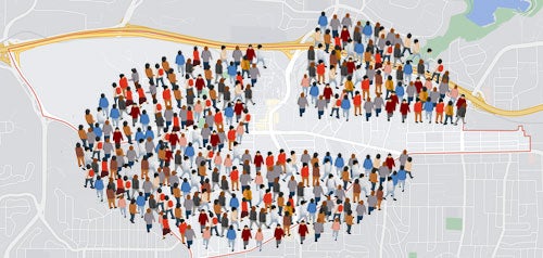
About Mira Mesa
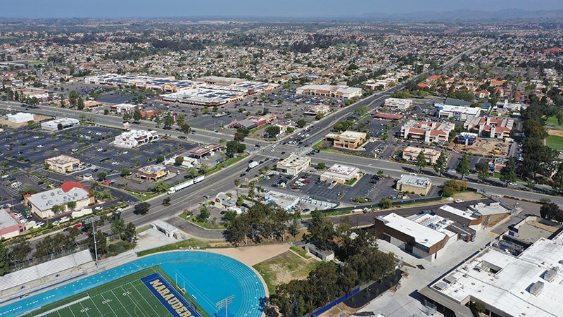
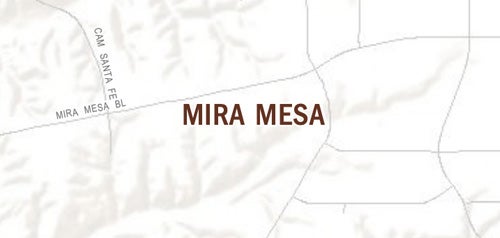
The Mira Mesa Community Plan Area is approximately 10,700 acres in area. It is located in the north central portion of the City of San Diego, 16 miles north of downtown San Diego, between the Interstate 805 and Interstate 15 corridors. It is bounded on the north by Los Peñasquitos Canyon and the surrounding communities of Torrey Hills, Carmel Valley and Rancho Peñasquitos; on the east by Miramar Ranch North and Scripps Miramar Ranch; on the south by Marine Corps Ari Station Miramar; and on the west by the University and Torrey Pines communities.
Mira Mesa was annexed to the City in 1958 as part of a larger annexation that included Del Mar Heights and Naval Air Station Miramar.
- The first community plan was adopted by City Council in January 1966. Little development occurred in the planning area until mid-1969, when the demand for moderate priced housing brought several major developers into eastern Mira Mesa.
- From early 1971 to the third quarter of 1972, Mira Mesa led construction activity within the City. In 1973, the City Council initiated a comprehensive update of the community plan in collaboration with the community planning group, which was adopted in June 1977.
- In 1981, the Mira Mesa Community Plan was updated to include both the eastern and western areas and to serve as the Local Costal Program Land Use Plan for the community, in accordance with California Coastal Act of 1976.
- In 1992, the Mira Mesa Community Plan was updated to identify future parkland and school needs, open space preservation, and housing, population, and traffic projections.
- In 1994, Carroll Canyon Master Plan – an amendment to the Community Plan – was adopted, which emphasized the importance of transit-oriented development within a 573-acre site.
The latest Mira Mesa Community Plan was adopted in 2022 and the General Plan identifies Sorrento Mesa within the Mira Mesa Community Planning Area as a Subregional Employment Area. In addition, natural features and open space define areas of Mira Mesa and provide recreational opportunities.
Mira Mesa is in Council District 6.
Community Planning
Planning Department
9485 Aero Drive, M.S. 413
San Diego, CA 92123
619-235-5200
planning@sandiego.gov