Hillcrest Corridor Mobility Plan

Why does the Hillcrest Corridor Mobility Plan matter?
On Fourth, Fifth, or Sixth Avenue, have you ever –
- Searched for a parking space?
- Worried about crossing the street?
- Wondered if bus service could be better?
Then you have the expertise we need. The Hillcrest Corridor Mobility Plan will find solutions for all these problems and more – with your help.
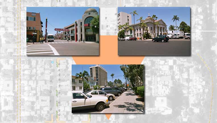
The Hillcrest Corridor extends twenty-five (25) blocks from downtown San Diego on the south, along the west side of Balboa Park, to a medical center overlooking Mission Valley on the north, and includes Fourth, Fifth, and Sixth Avenues.
During 2007, the City of San Diego and San Diego Association of Governments (SANDAG) will be developing alternatives to improve your ability to get around on Fourth, Fifth, and Sixth Avenues. We need your help to design improvements that will work.
You make the difference!
- Learn about the Hillcrest Corridor Mobility Plan and meet the planners at the introductory workshop on April 26, 2007.
- Walk around the neighborhood with the planners and identify problem areas on April 30 and May 1, 2007.
- Improve the plan with your design ideas at the workshop on June 23, 2007.
- See the results of your efforts at the final workshop on November 8, 2007.
- Informational Brochure
- Presentation to Uptown Planners - September 4, 2007
- Alternatives Survey
- Frequently Asked Questions
Plan Alternatives
Plan alternatives developed during this process are posted below.
- Feet First Report - January 2003
- 4th/5th/6th Avenue Traffic Calming Report - January 2005
- 4th/5th/6th Avenue Traffic Calming Report Appendices
- Plans Introduction
- Refined Plans


